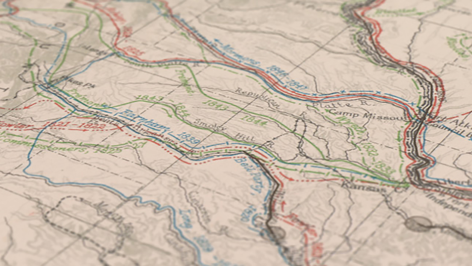
The Atlas of the Historical Geography of the United States
A great historical atlas from the 20th century that's enhanced for the 21st.
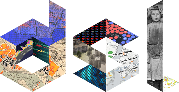
The Digital Scholarship Lab creates projects that explore American history through mapping and data visualization.
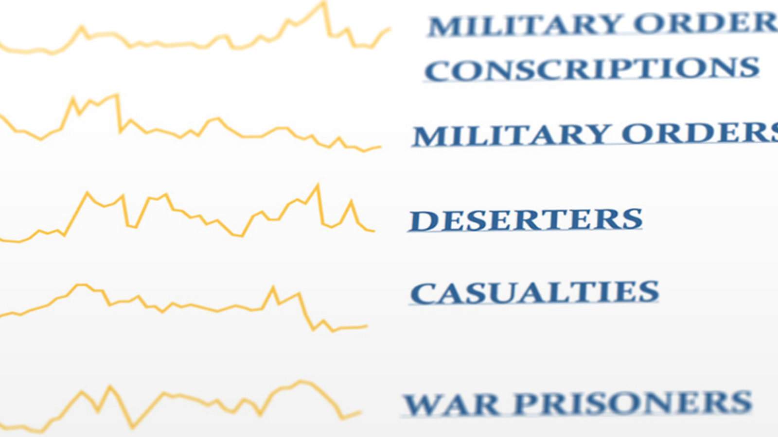
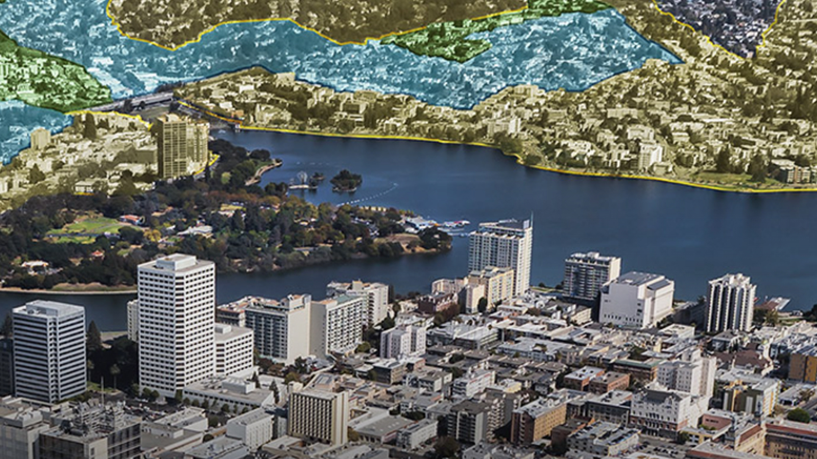
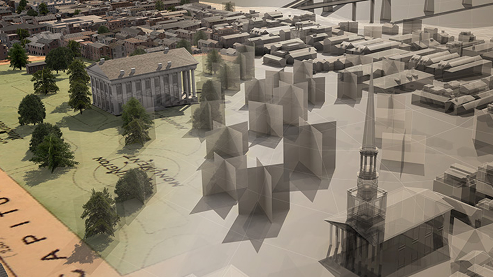
American Panorama is the Digital Scholarship Lab's flagship project. It uses interactive maps to illuminate themes, issues, and conflicts that have shaped American history.
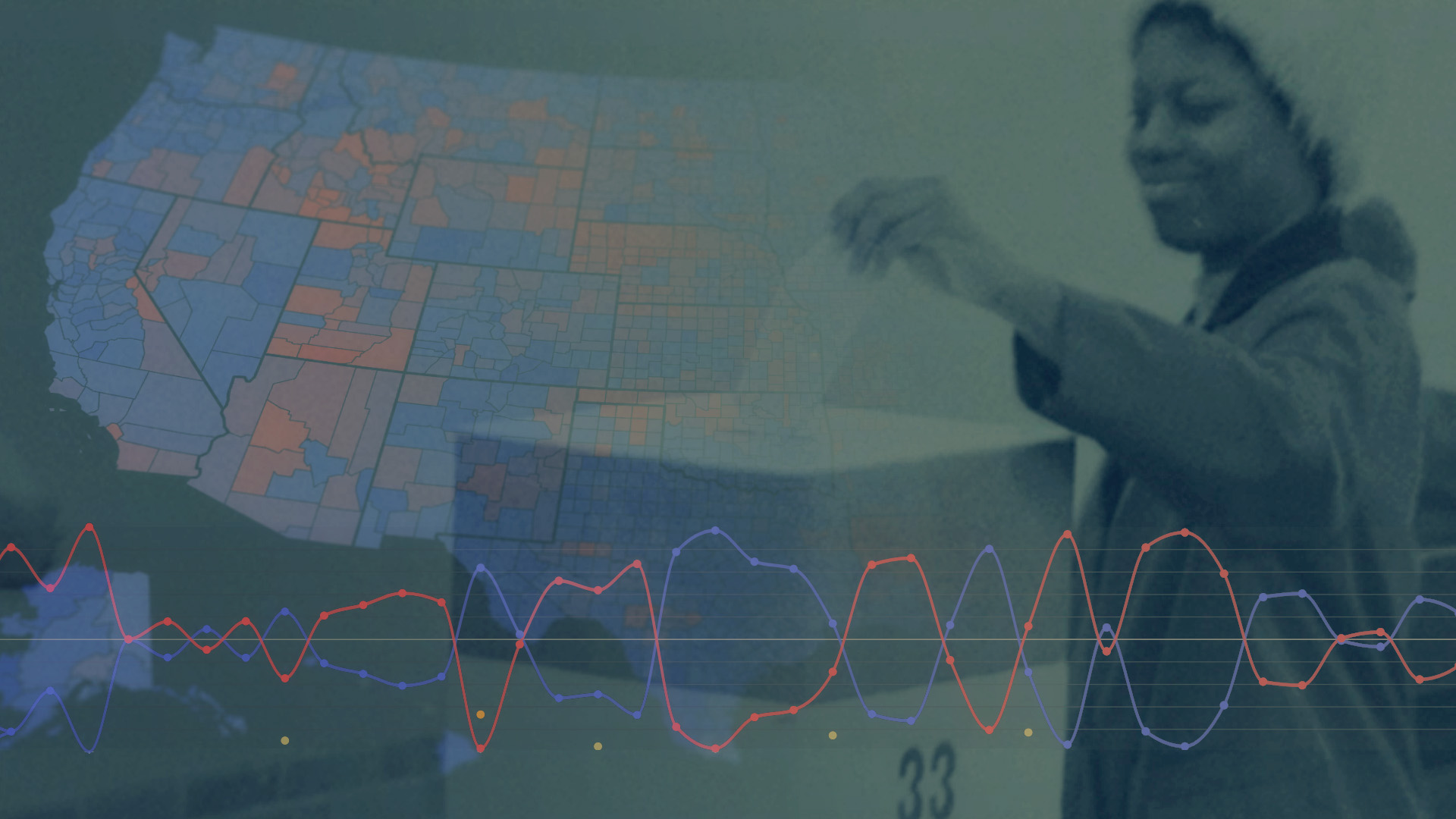
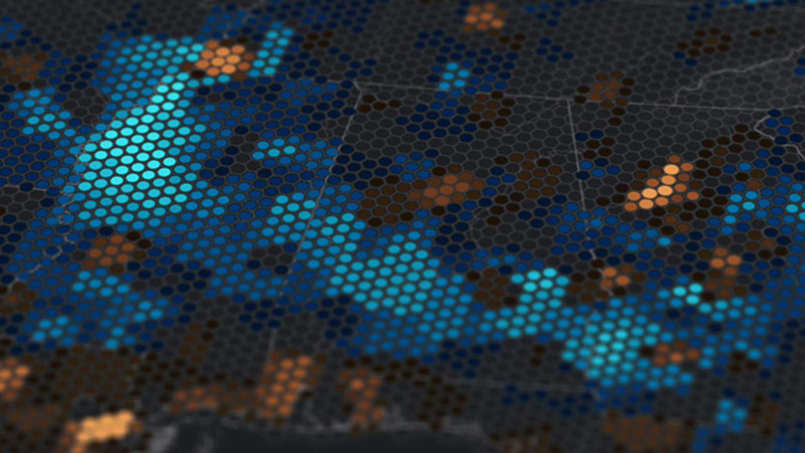
Most presidential election maps emphasize the candidates and parties who won or lost the Electoral College. Electing the President shifts the focus to American voters, highlighting the more complex and nuanced landscape of the popular vote across nearly 50 presidential elections dating back to 1840.
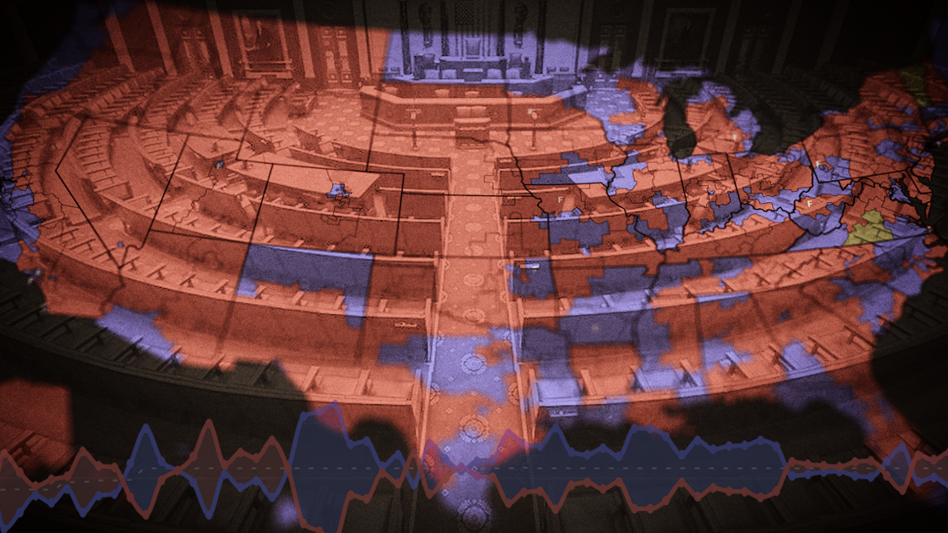
The most democratic body in the federal government, hundreds of representatives are elected every other year. This site maps elections from before the Civil War to today, showing changing patterns across regions and between urban and rural areas.
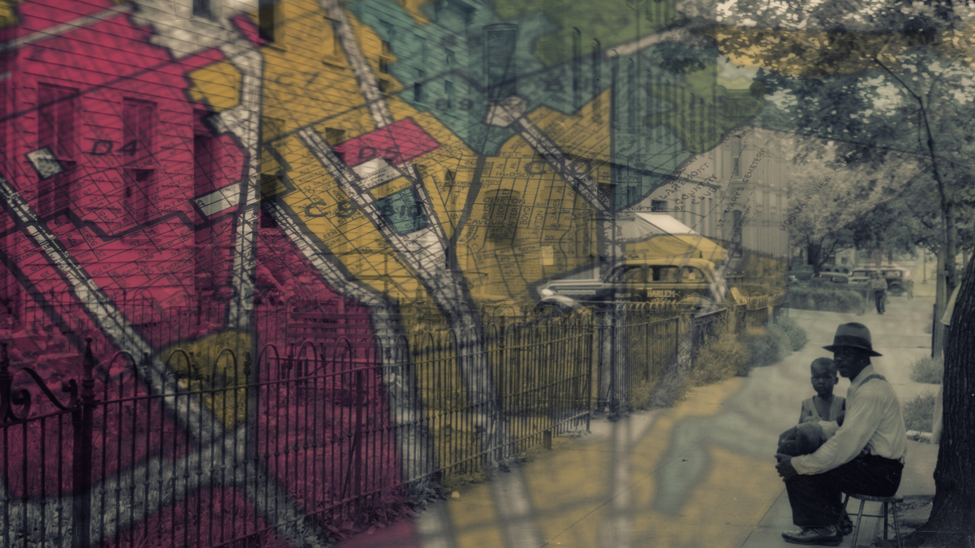
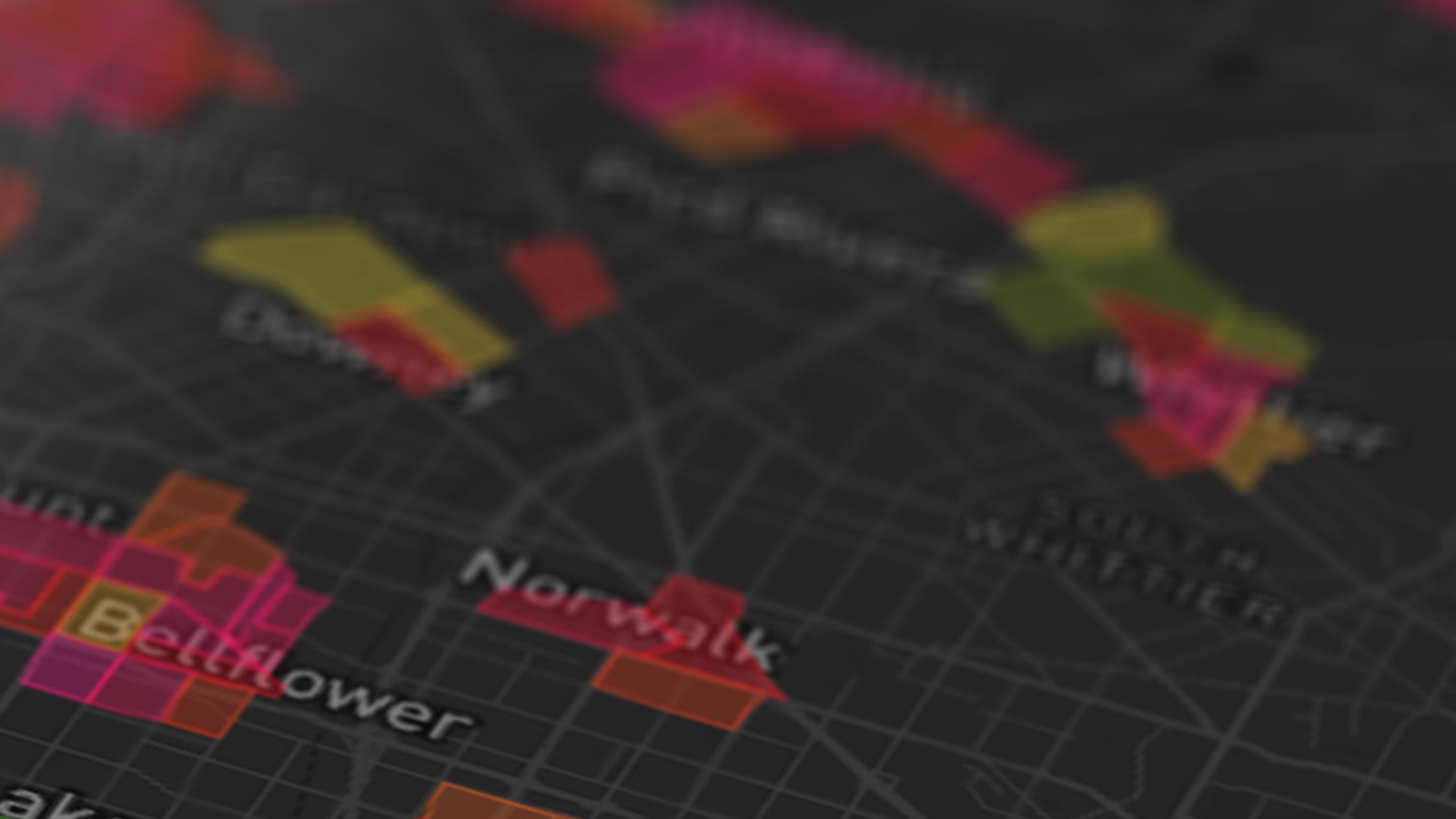
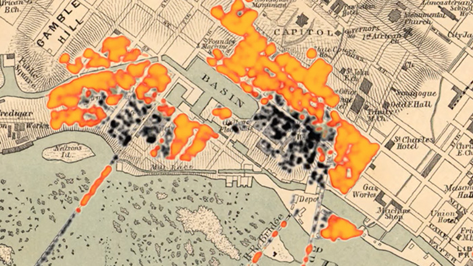
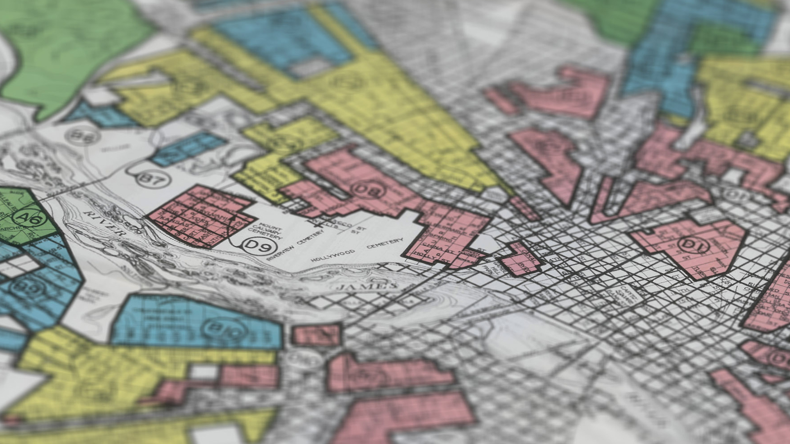
In the 1930s the federal government created redlining maps for almost every major American city. Mapping Inequality lets you explore these maps and the history of racial and ethnic discrimination in housing policy.
In addition to American Panorama, the Lab has created other projects that bring new perspectives to American history.
The DSL is part of a wider community of digital humanities work at Richmond. Here are a few projects and initiatives we admire.
The Digital Scholarship Lab is part of Boatwright Memorial Library at the University Richmond. Our projects emerge from the collaboration of a team with strengths in American history, cartography, design, web development, and digital humanities.


Boatwright Memorial Library
261 Richmond Way
University of Richmond, VA 23173